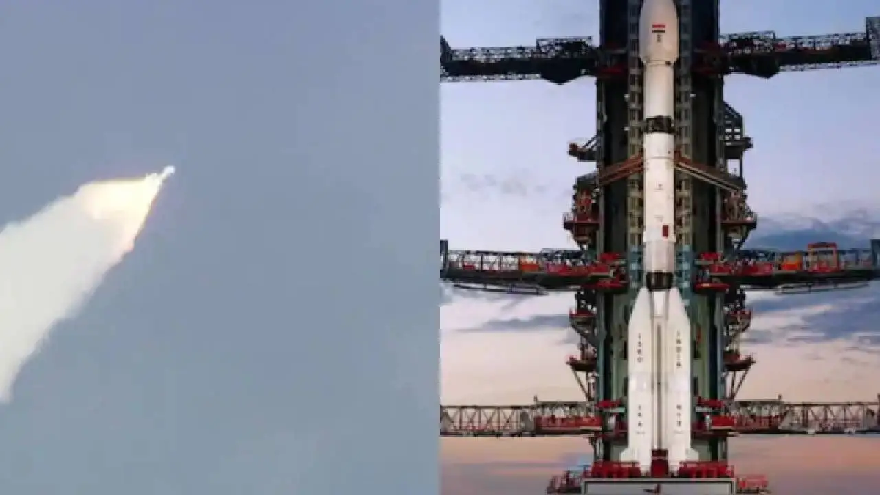
NISAR to Track Earth’s Heartbeat: Joint ISRO-NASA Mission Launched
ISRO and NASA have jointly launched the NISAR satellite to monitor earthquakes, melting ice, and climate shifts, providing precise data to improve disaster preparedness and showcasing strong India-US space collaboration.

Tech News: The Indian Space Research Organization (ISRO) and the US space agency NASA have successfully launched an important satellite, 'NISAR,' together. This satellite has been built at a cost of billions of dollars, and its purpose is to monitor the Earth's surface and its activities in depth. This satellite was placed in a sun-synchronous orbit of 747 kilometers through a GSLV Mk-II rocket at 5:40 pm Indian time.
The NISAR satellite is the result of the technical knowledge and experience of ISRO and NASA, in which hardware and software have been exchanged for about ten years. Its main purpose is to do an accurate and detailed study of the entire Earth.
Features of the NISAR satellite
NISAR is a heavy satellite weighing about 2,392 kg. It is the world's first earth observation satellite that uses two different frequency bands, NASA's L-band and ISRO's S-band, simultaneously. Due to these dual radar systems, NISAR will be able to measure small and big changes on the earth's surface with great accuracy.
This satellite will obtain much important information, like humidity, surface texture, and movement. Built at a cost of about US $1.5 billion, this satellite is one of the most expensive earth observation satellites in the world.
Technical structure and functioning
The NISAR satellite has a 12-meter-long gold mesh antenna, which is considered to be the largest in low earth orbit. It is attached to ISRO's I-3K satellite bus platform, which includes command and data control, propulsion, and a 4 kW solar power system.
After launch, the satellite will undergo an 'in-orbit checkout' process for about 90 days so that all its systems can be fully ready for scientific work. NISAR's Synthetic Aperture Radar (SAR) will send radar waves to the surface and provide detailed information about the earth's surface by measuring the time taken for their return and the change in phase.
Key Features And Uses Of NISAR
The NISAR mission is an example of growing space cooperation between India and the US. This mission will conduct an in-depth study of the Earth's ecosystem, glaciers, vegetation, groundwater levels, rising sea levels, and natural disasters such as earthquakes, tsunamis, volcanoes, and landslides.
Due to its dual radar system and SweepSAR technology, this satellite will provide accurate data in all weather conditions, day and night, and even amid clouds or dense forests. NISAR data will be made available free of cost to scientists, farmers, and disaster management departments, which will help in taking quick decisions during disasters. This data will be useful not only for India and the US but also for the whole world.
Impact of NISAR Mission
The NISAR satellite will help in better understanding the Earth's changing environment and natural processes. It will assess risks, especially in the earthquake-prone Himalayan region, monitor volcanic activities, and provide assistance in protecting infrastructure. Along with this, farmers will be helped in better care of the crop, and scientists will be able to study the effects of climate change easily. The scientific data coming from this mission can bring revolutionary changes in environmental protection, disaster management, and the agriculture sector.
The NISAR satellite is extremely special because it provides humanity with a major step towards a deeper understanding and protection of the Earth. It is a symbol of the partnership between India and the US, which will enable scientists of both countries to work together to use new technologies in the care of the Earth.


